Where Is Hiroshima Located?
Hiroshima is the capital of Hiroshima Prefecture in the Chugoku region of western Honshu, on the Seto Inland Sea. Here is exactly where it sits, how big it is, and how to reach it.
Hiroshima is the capital city of Hiroshima Prefecture in the Chugoku region of western Honshu, and the largest city in that region. Per the prefecture's own base-information page, the city had a population of 1,192,299 as of 1 August 2022, spread over 906.69 square kilometers. It stands on the delta of the Ota River at the head of Hiroshima Bay, an inlet of the Seto Inland Sea, hemmed in by mountains rather than open ocean coastline. Miyajima, the island home of Itsukushima Shrine, lies just off the mainland in the same bay and is reached by a ferry crossing of about 10 minutes. This page sets out exactly where Hiroshima sits, what surrounds it, and how the map shapes a visit, with the numbers the prefecture and the Japan Meteorological Agency publish.
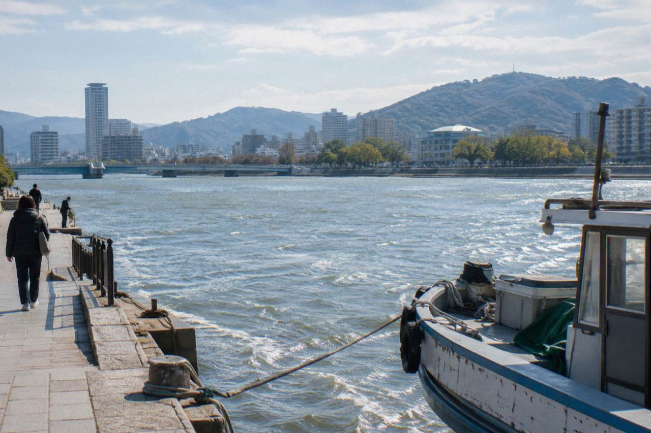
Hiroshima is located in western Honshu, the main island of Japan, where it serves as the capital of Hiroshima Prefecture in the Chugoku region. The city is built on the delta of the Ota River at the head of Hiroshima Bay, an inlet of the Seto Inland Sea, at coordinates 34°23′29″N 132°27′07″E. It is a designated city, the largest in the Chugoku region, with its city hall at 1-6-34 Kokutaiji, Naka-ku.
The geography is worth pausing on, because it explains the city's shape. The prefecture's base-information page describes Hiroshima Prefecture as bordered by the Chugoku Range, mountains over 1,000 meters, to the north, and facing the Seto Inland Sea to the south. The city itself fans out across a river delta, with the bay at its southern edge. Hiroshima is not on the Pacific coast, and it is not an island: it is a mainland delta city facing a sheltered inland sea, and the famous island of Miyajima sits in the water a short ferry ride away.
The same prefectural page notes that the coastal area is relatively warm compared with the northern mountainous parts of the prefecture, and that the coastal region receives relatively little rainfall and has many sunny days year-round. The mountains to the north, not the sea to the south, are what trap the city in its channel of valleys and rivers, and the branches of the delta cut through the downtown districts.
| Measure | Hiroshima City | Hiroshima Prefecture |
|---|---|---|
| Area | 906.69 sq km | 8,479.22 sq km |
| Population (1 Aug 2022) | 1,192,299 | 2,762,803 |
| Position | Ota River delta, Hiroshima Bay | Chugoku region, western Honshu |
One distinction trips up a lot of planning: Hiroshima Prefecture and Hiroshima city are different things. When a timetable or a pass says "Hiroshima", it almost always means the city, and the two should never be swapped when you are measuring distances. Readers weighing the city against its famous offshore island can compare them directly in Hiroshima or Miyajima: which is better to visit.
What Region Of Japan Is Hiroshima In?
Hiroshima is a city in the Chugoku region of western Honshu on the Seto Inland Sea. The prefecture stretches between the Chugoku Range to the north and the Seto Inland Sea to the south. Hiroshima Bay, where the city sits, is an inlet of that sea, which separates Honshu from Shikoku and Kyushu.
The Chugoku placement matters for itinerary logic. The Seto Inland Sea between Honshu and Shikoku is dotted with islands, and several of them, Miyajima among them, sit within easy reach of Hiroshima's ports and ferry terminals.
Within Japan, the country context may help once: Hiroshima is a Japanese city at the western end of Honshu, closer to the Asian mainland side of the country than to Tokyo. If the question behind the question is whether the city rewards a detour from a Kansai or Kyushu trip, is Hiroshima worth visiting answers it with the site's own evidence.
How Far Is Hiroshima From Tokyo And Osaka?
Hiroshima lies at the western end of Honshu, several hundred kilometers west of Tokyo, with a Nozomi Shinkansen run from Shin-Osaka taking about 80 to 85 minutes and the full run from Tokyo taking about 3 hours 45 minutes to 4 hours, as reported for JR West services. Domestic flights reach Hiroshima Airport from Haneda in 1 hour 30 minutes and from Narita in 1 hour 45 minutes.
Those rail times are reported figures rather than a primary JR West timetable read, but they frame the decision well: Hiroshima is a long way from Tokyo and a comfortable hop from Osaka or Kyoto. The Kansai-Hiroshima Area Pass, listed by JR West at 17,000 yen for five days adult, covers the Sanyo Shinkansen between Shin-Osaka and Hiroshima, which makes a Kansai-based visit straightforward.
Arriving by air, the limousine bus connects Hiroshima Airport with Hiroshima Station's Shinkansen gate in 45 to 50 minutes for 1,500 yen, and with the Hiroshima Bus Center in about 55 minutes at the same fare, per the airport's own timetable page. The terminal building is open from 6:00 to 22:30. Within the city, the Hiroden network runs on a flat fare of 240 yen adult and 120 yen child on all lines including the Miyajima line, a fare set on 1 February 2025.
| Route | Mode | Time | Fare |
|---|---|---|---|
| Shin-Osaka to Hiroshima | Shinkansen, Nozomi | about 80 to 85 min | fare not quoted here |
| Tokyo to Hiroshima | Shinkansen | about 3 h 45 min to 4 h | fare not quoted here |
| Haneda to Hiroshima Airport | flight | 1 h 30 min | fare not quoted here |
| Narita to Hiroshima Airport | flight | 1 h 45 min | fare not quoted here |
| Airport to Hiroshima Station | limousine bus | 45 to 50 min | 1,500 yen |
| Miyajimaguchi to Miyajima | JR ferry | about 10 min | visitor tax 100 yen, separate |
Where Is Miyajima Relative To Hiroshima?
Miyajima, also called Itsukushima, is reached by a roughly 10-minute JR ferry from Miyajimaguchi on the mainland south of the city. It is not part of the city of Hiroshima and not part of the Peace Memorial Park area. Ferries run roughly every 15 minutes from 8:00 into the evening, and a 100 yen Miyajima visitor tax is charged separately on entering the island.
The two operators on the crossing are the JR West Miyajima Ferry and Miyajima Matsudai Kisen, and both run their own timetables, with the JR ferry departing roughly every 15 minutes from 8:00 to 18:00 and beyond. Japan Rail Pass and JR-West rail passes are valid on the JR ferry, though the 100 yen visitor tax still applies, and preschool children are exempt from it. On the island itself, Itsukushima Shrine stands at 300 yen adult admission, founded in 593 and rebuilt in its present form in 1168, and its Great Torii rises 16.6 meters offshore in the same bay.
Because the island sits in tidal water, the torii changes character through the day: the Miyajima Tourism Association's tide page explains that the gate appears to float when the tide exceeds 250 cm referenced to Hiroshima Port, and that the seabed opens for walking out when the level falls below 100 cm. The details are in when is low tide at Miyajima, and the reason the gate stands in the water at all is covered in why is the Miyajima torii gate in the water.
The location shapes how a visit works. The island sits close enough to the mainland for a half-day trip, yet far enough that its own rhythm, its deer, its shrine hours and its tides, governs the schedule rather than the city's. A private guide who handles both sides of the water in one day is one way travellers pair them: the Hiroshima & Miyajima Island Private Guided Tour covers the city and the island in a single outing.
What Is The Weather Like In Hiroshima?
Hiroshima has hot, humid summers and mild winters, per the Japan Meteorological Agency (JMA) station data for 1991-2020. The August average high is about 32.8°C and the January average low about 2.0°C. July carries the heaviest monthly rainfall at about 279.8 mm, January the lightest at about 46.2 mm.
The prefecture's own summary adds that the coastal strip gets relatively little rain and many sunny days compared with the mountains inland, which is the sheltered-bay effect rather than a Pacific-coast pattern. For planning, the climate normals say the warm months run long: May, June, July, August, September and October all show average highs of 23.7°C or better, and rainfall concentrates in the June-to-July wet season before easing in August. Winter is mild but not tropical, with average lows above freezing in every month.
| Month | Average High °C | Average Low °C | Rainfall mm |
|---|---|---|---|
| Jan | 9.9 | 2.0 | 46.2 |
| Apr | 19.8 | 10.1 | 141.0 |
| Jul | 30.9 | 24.1 | 279.8 |
| Aug | 32.8 | 25.1 | 131.4 |
| Oct | 23.7 | 14.9 | 109.2 |
| Dec | 12.1 | 4.0 | 54.0 |
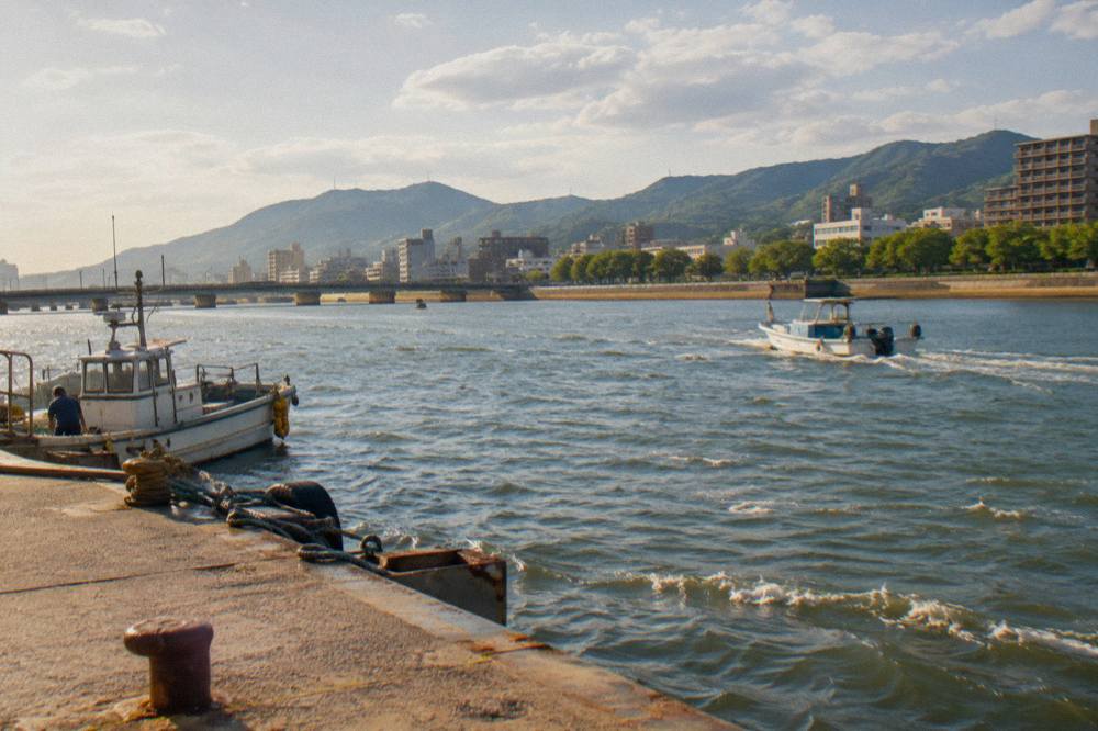
The bay and the mountains together explain the numbers. The Seto Inland Sea moderates the temperature swings, the Chugoku Range to the north blocks the coolest continental air, and the summer wet season arrives off the same water. Season-by-season guidance, including what the city does in each of them, sits in the best time to visit Hiroshima guide, which builds on these same station normals.
Common Questions About Hiroshima's Location
Where Is Hiroshima Located?
Hiroshima is the capital city of Hiroshima Prefecture in the Chugoku region of western Honshu, on the delta of the Ota River at the head of Hiroshima Bay, an inlet of the Seto Inland Sea, at 34°23′29″N 132°27′07″E.
Is Hiroshima On The Pacific Coast?
No. Hiroshima faces the Seto Inland Sea, which lies between Honshu and Shikoku. The city sits on Hiroshima Bay, an inlet of that sea, with the Chugoku Range to the prefecture's north.
Is Miyajima Part Of Hiroshima City?
No. Miyajima is a separate island in Hiroshima Bay, reached by a roughly 10-minute JR ferry from Miyajimaguchi. A 100 yen visitor tax, charged with the inbound ferry ticket, applies on entering the island.
How Long Does It Take To Reach Hiroshima From Osaka Or Tokyo?
The Sanyo Shinkansen covers Shin-Osaka to Hiroshima in about 80 to 85 minutes by Nozomi, and Tokyo to Hiroshima in about 3 hours 45 minutes to 4 hours, as reported. Flights from Haneda take 1 hour 30 minutes and from Narita 1 hour 45 minutes.
How Big Is Hiroshima Compared With Its Prefecture?
The city covers 906.69 square kilometers with 1,192,299 people as of 1 August 2022, while Hiroshima Prefecture covers 8,479.22 square kilometers with 2,762,803 people at the same count, per the prefecture's base-information page.
Where Is Hiroshima Airport Relative To The City?
Hiroshima Airport connects to Hiroshima Station's Shinkansen gate by limousine bus in 45 to 50 minutes for 1,500 yen, and to the Hiroshima Bus Center in about 55 minutes at the same fare, per the airport timetable page.
Put plainly, Hiroshima is a mainland delta city on a sheltered inland sea in western Honshu, with an island shrine a ferry ride away, and every number above comes from the prefecture, the airport, the ferry operators or the Japan Meteorological Agency rather than from guesswork. For what to do once the map makes sense, the Hiroshima Travel Guide homepage and the things to do in Hiroshima round-up pick the thread up from here, and how many days in Hiroshima is enough settles the length of the stay.